
Our Services
Professional Surveying, Mapping & Geomatics in Southeast Alaska
Southeast Survey Solutions provides accurate, efficient, and dependable land surveying and geomatics services tailored to the unique terrain, weather, and regulatory environment of Southeast Alaska. We combine traditional surveying methods with modern GNSS, drone, and mapping technologies to deliver reliable results you can build on.
🔹 Boundary & Property Surveys
🔹 Subdivision & Land Development Support
🔹 Drone Mapping & Aerial Data Collection
🔹 Topographic & Site Surveys
🔹 Construction & Contractor Survey Services
🔹 GNSS, Control & Geodetic Services
🔹 Mapping, GIS & Geomatics Services
🔹 Consulting & Project Support
Boundary & Property Surveys
Clear, defensible boundary information is the foundation of land ownership and development.
We provide:
Boundary surveys
Property line retracement and staking
Corner recovery and monumentation
Easement and right-of-way identification
Boundary conflict resolution support
All boundary work is performed in accordance with Alaska statutes and professional standards.
Subdivision & Land Development Support
From early planning through final platting, we help guide projects through the survey process.
Services include:
Subdivision surveys
Lot layout and design support
Plat preparation assistance
Coordination with engineers and local agencies
Development feasibility support
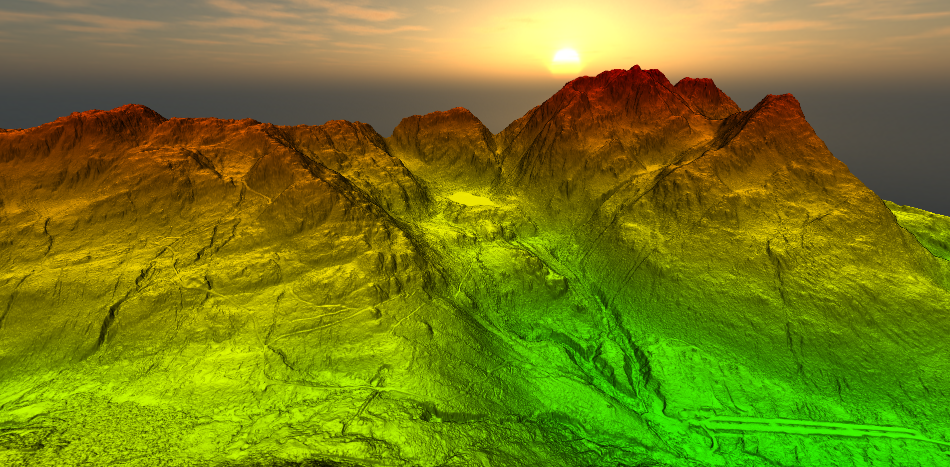
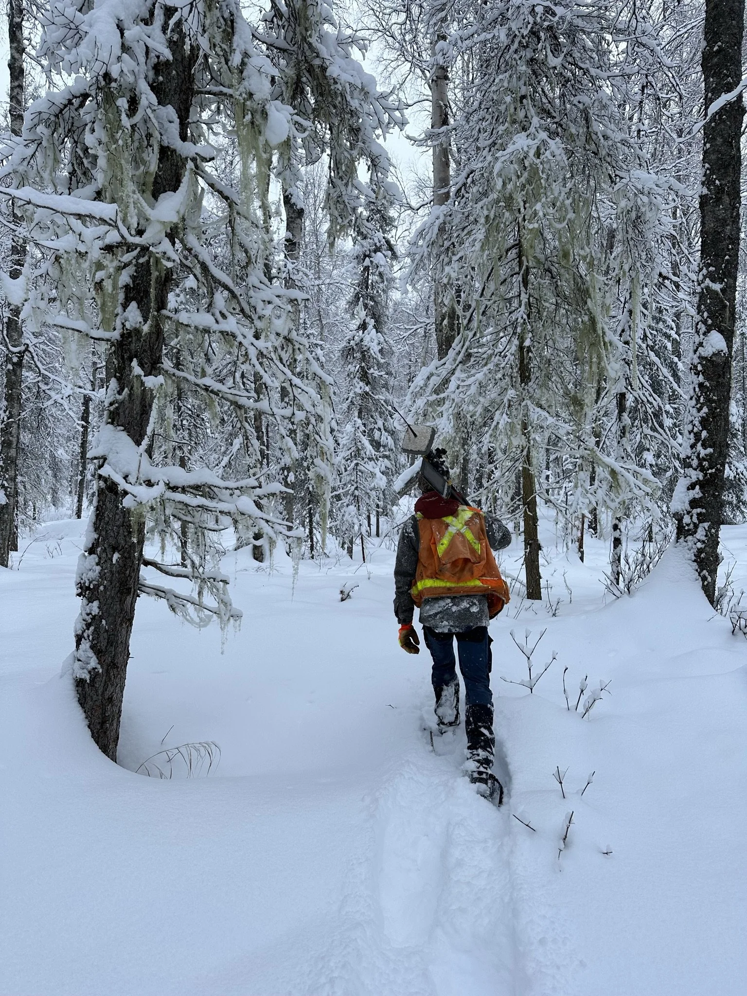
Drone Mapping & Aerial Data Collection
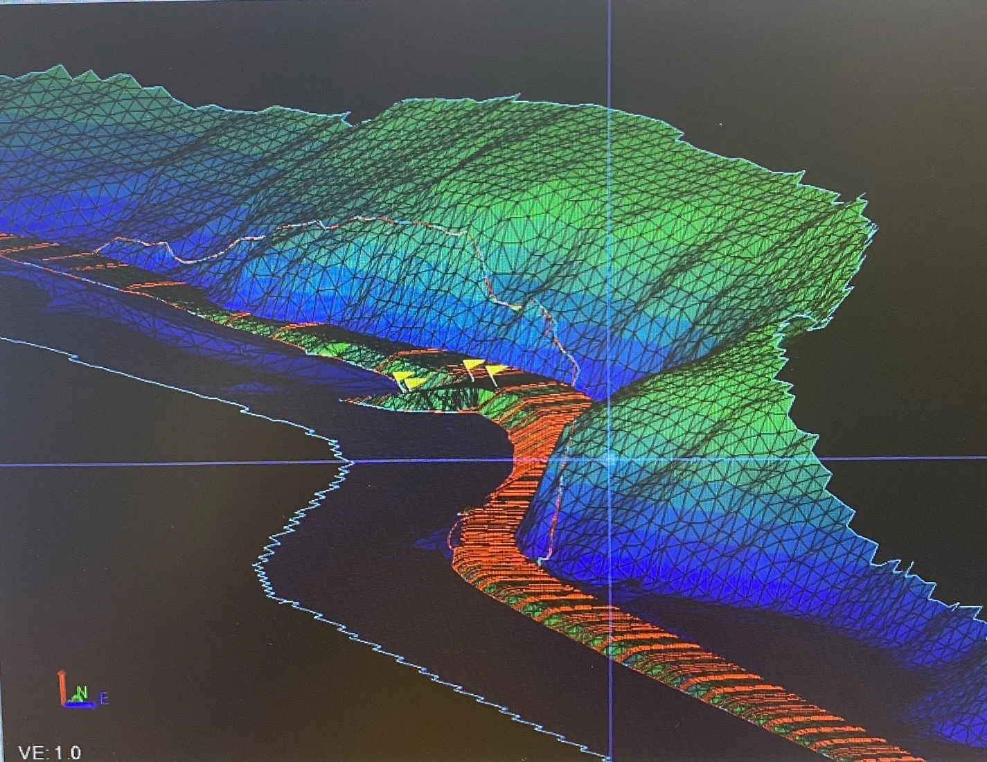
Unmanned aerial systems allow safe, efficient data collection in difficult terrain.
Drone services include:
Aerial mapping and orthomosaic imagery
Topographic mapping and surface models
Construction progress mapping
Remote or limited-access site surveys
Drone operations are conducted in compliance with FAA regulations and local requirements.
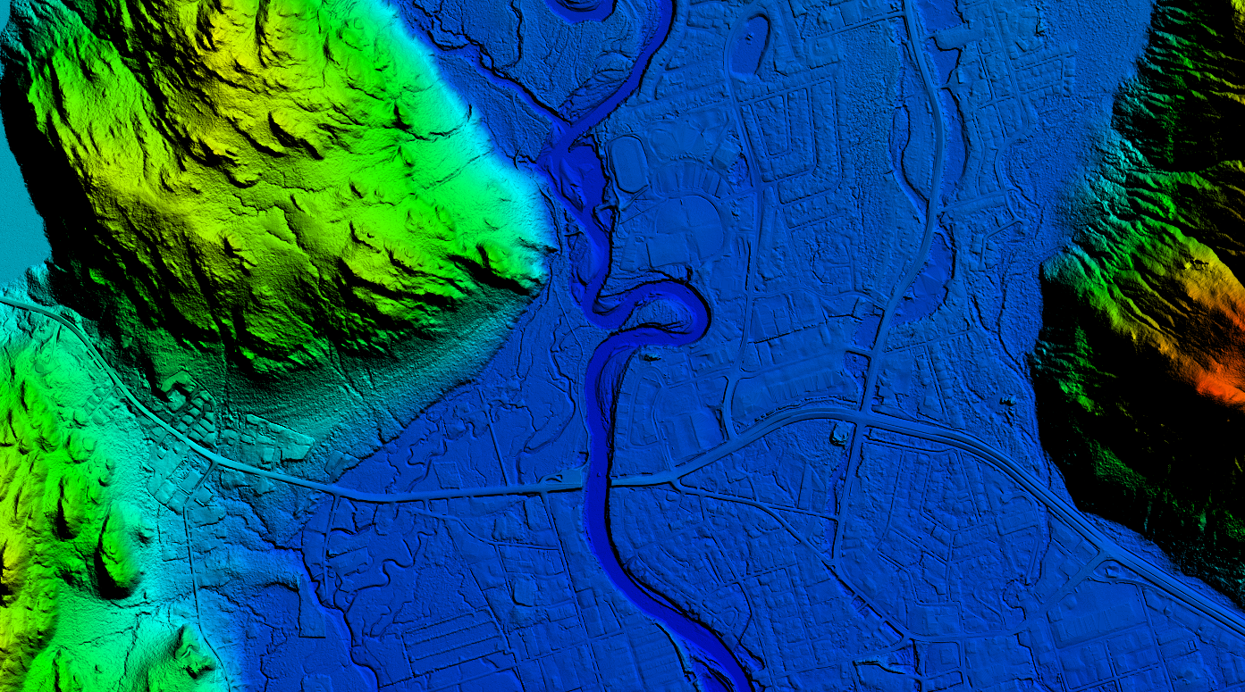
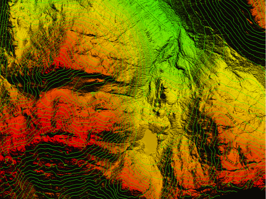
Topographic & Site Surveys
Detailed site information for planning, design, and permitting.
Our topographic services include:
Ground and aerial topographic surveys
Drainage mapping and modeling
Existing conditions surveys
Utility and feature mapping
Terrain models and elevation data
Deliverables are provided in formats suitable for engineers, architects, and designers.
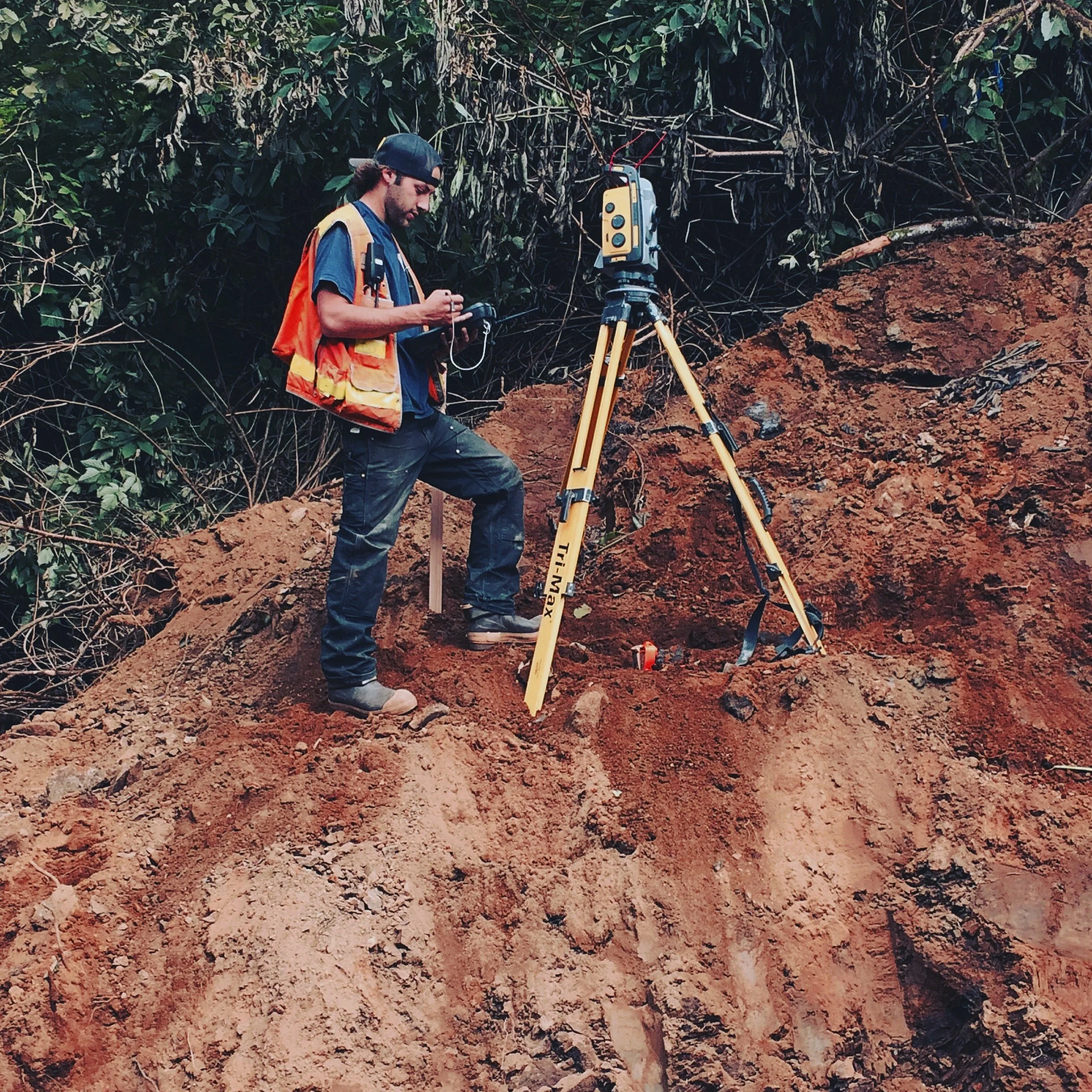
Construction & Contractor Survey Services
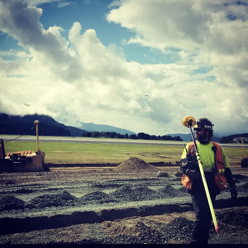
We support contractors and builders with timely, accurate survey data to keep projects moving.
Services include:
Construction staking
Site layout and control
As-built surveys
Machine control 3D modeling
Foundation and structure layout
Quantity calculations
We understand construction schedules and provide responsive service to minimize downtime in the field.
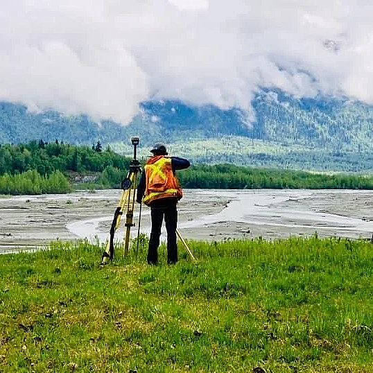
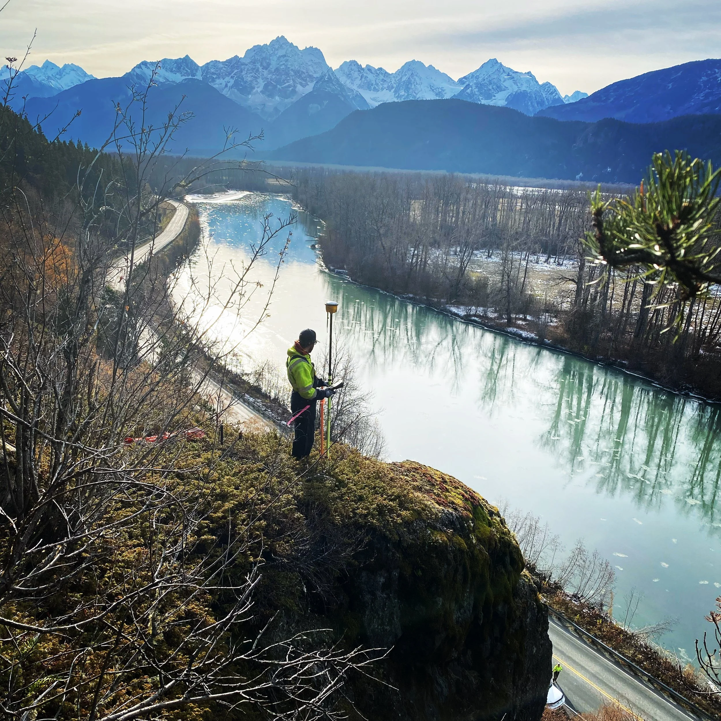
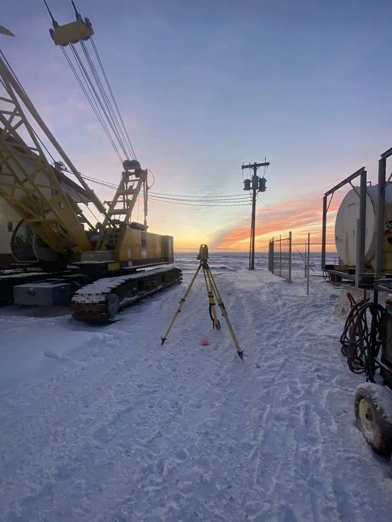
GNSS, Control & Geodetic Services

Accurate control is critical in Southeast Alaska’s challenging environment.
We offer:
GNSS control networks
Project control site calibration
Vertical and horizontal control
Datum conversions and coordination
Survey control verification
All work is tied to appropriate state and national reference systems.
Mapping, GIS & Geomatics Services
Modern survey data doesn’t stop at the field.
We provide:
GIS data collection and analysis
Mapping and visualization
Spatial data management
Custom map products
Integration of traditional surveying, GNSS, and aerial data.
Consulting & Project Support
Not every project fits a standard category.
We offer professional consulting for:
Survey planning and feasibility
Remote survey logistics
Spatial data collection
Survey data review and verification
If you’re not sure what type of survey you need, we’re happy to help you figure it out.
Get In Touch
If you're interested in working with us, complete the form with a few details about your project. We'll review your message and get back to you.